Metadata for Map Grids (1600m x 1000m)
Identification
- File Name
- Grd2000
- Feature Dataset
- Grid System
- Ownership
-
District of North Vancouver
355 West Queens Road, North Vancouver, BC, Canada, V7N 4N5
Spatial
- Extents
-
- Coverage
-
West:
Not Applicable
East: Not Applicable
South: Not Applicable
North: Not Applicable - Coordinate System
- Not Applicable
- Projection
- Not Applicable
File Properties
- Data Type
- Feature Class
- Data Format
- ESRI Enterprise SDE
- Geometry Type
- Not Applicable
- Topology
- Not Applicable
- Spatial Index
- Not Applicable
- Linear Referencing
- Not Applicable
History
- Date Posted to GIS:
- 1994
- 1994: A proprietary map grid system was created in 1994 by the City of North Vancouver so that individual map sheets could be generated. The District later extended the reference system by adding its own grids and modified the grid numbers.
Quality
- Accuracy
- Completeness
-
- Spatial information is known to be complete, expected to be complete or very close to complete.
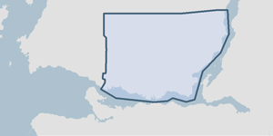
- Covers the entire District of North Vancouver.
Maintenance
This information is static. No maintenance is performed on this feature class.
Supporting Documentation
- Data Dictionary
- Not Applicable
- Relationships
- Not Applicable
- Rights
- Terms and Conditions of Use